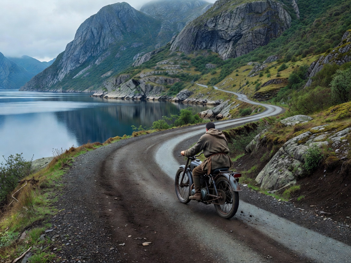
01 — SHORELINE ROUTES
Let the coast set the pace.
Nordic coastal routes are not one road type. A day can combine broad regional roads, narrow shoreline lanes, bridges, tunnels and ferry crossings. The water may stay in view for a short stretch, then disappear behind a headland. Route planning should account for the connections between scenic sections, not only the map line beside the sea.
Use the coastal option when the purpose is varied scenery and frequent stops. Do not assume it is the fastest link between two towns. Inlets and fjords can lengthen distances. Ferries may make a route more direct, but they add a timed connection and a waiting period. Keep an alternative road link where practical.
Road width, wind and surface
Road width changes quickly near settlements, viewpoints and older shore corridors. Some stretches have limited passing space or little room to stop. Stay within your lane and use designated pull-offs. Avoid stopping on blind bends, bridge approaches or narrow shoulders. A route that looks open on a map can feel exposed when traffic meets on a tight section.
Crosswinds can be stronger on bridges, open headlands and causeways. Gusts can arrive after a sheltered bend. Reduce pace before exposed sections, leave extra space and keep both hands ready for changing airflow. Wet salt spray, grit, standing water and shaded damp patches can affect grip. A scenic road is still a public road with local traffic, cyclists and working vehicles.
Ferry links and route continuity
Identify every crossing before departure. Check the operator’s current information for sailing times, booking requirements, vehicle rules and disruption notices. This guide does not publish live schedules. Arrive with enough time to queue and follow staff instructions. Keep documents and payment options accessible, and know where the next safe waiting point is if the sailing plan changes.
Do not build a long day around a single tight connection. Add a buffer for traffic, road works, weather and loading. If a ferry is missed, reassess the full day rather than trying to recover time with a faster pace. Mark a practical overnight option on both sides of a major crossing.
Weather and the riding season
Coastal weather can differ from inland conditions. Wind direction and strength, rain, temperature and visibility may shift over a short distance. Check forecasts from reliable local services before riding and again during a safe stop. Forecasts are planning inputs, not guarantees. Carry a waterproof outer layer and warm gloves where conditions call for them. Make visibility a priority in rain, spray and low cloud.
Shoulder seasons can bring shorter daylight, cold rain and variable road conditions. Snow, ice and temporary access restrictions may affect higher or more exposed connections. Check current local road information and legal access before setting out. Never treat a map’s year-round route line as confirmation that a road is open.
Choose a coastal route by its links
Compare route options by road category, distance, crossing count, service availability and safe stopping places. Use mapping tools to find a continuous route, then check local road notices and ferry information independently. Satellite imagery can help identify a pull-off or settlement, but it cannot confirm present road condition. Keep offline navigation for areas with weak coverage and carry a charger suited to the trip.
For a short day, select one coastal section and leave room for viewpoints. For a multi-day ride, group shore roads with sensible overnight stops instead of forcing every scenic detour into one schedule. Fuel availability varies by region and opening hours. Start with a full tank where possible and plan the next refuelling point before entering a remote stretch.
Advantages and limitations
The main advantage is variety: shoreline views, bridges, ferry passages and settlements can create a changing ride. The trade-off is less predictable timing. Narrow roads, wind exposure, traffic near popular stopping areas and crossing queues can reduce daily distance. A coastal route suits riders who can adapt the plan. It suits less well when a fixed arrival time leaves no room for delay.
Good for
- Riders who value varied scenery and regular planned stops.
- Multi-day trips that can absorb ferry and weather buffers.
- Route plans that combine coast with inland alternatives.
What to know
- Verify ferry details and road access with current local sources.
- Expect wind exposure, changing road width and occasional limited services.
- Stop only where visibility and space make it safe and legal.