03 — DISTANCE & ATTENTION
Build the day around the gaps.
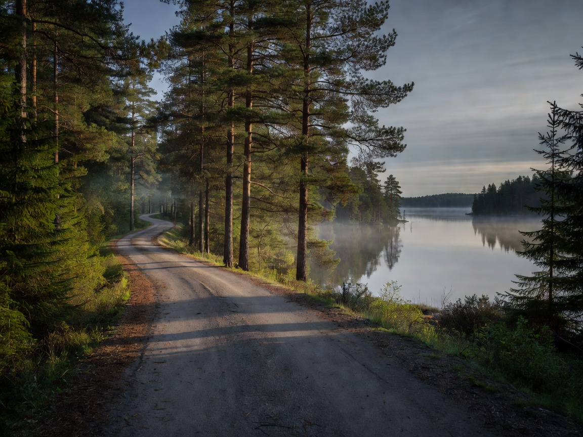
Forest and lake routes often connect small settlements across broad inland areas. They can be calm and direct, but services may be less frequent than on a major corridor. A route line that appears short can still include slower regional roads, village speed limits and junctions. Estimate ride time from the road type and planned stops, not distance alone.
For long-distance riding, set a practical daily target before departure and leave spare time. Mark fuel points, food and rest opportunities, then check that each option is open when you expect to arrive. Opening hours change. Do not assume a fuel location shown on a map is available around the clock. If the next reliable stop is uncertain, refuel earlier where practical.
Road surfaces and transitions
Inland routes can shift between well-maintained paved roads and narrower or rougher links. Some mapping services may offer unpaved shortcuts without making the surface obvious. Review the route settings, road labels and local information. If a road type is unsuitable for your motorcycle, passenger or conditions, choose a legal paved alternative. Never ride onto a restricted road because it appears to save time.
Look ahead for loose gravel, patched pavement, standing water, soft shoulders and debris near junctions. Forest shade can keep damp sections wet after open areas have dried. Road edges may be uneven. Slow down when visibility or surface changes, and leave enough room to respond without abrupt manoeuvres.
Wildlife and local traffic
Wildlife may move across rural roads, especially around dawn and dusk, but encounters can occur at any time. Reduce speed where sight lines are limited and watch for movement at road edges. If an animal appears, avoid a sudden swerve into opposing traffic or an unsafe shoulder. Follow local advice and road signs. Do not stop in a live lane to take photographs.
Forest roads also serve residents, forestry work, deliveries and agricultural traffic. Expect slow vehicles, machinery, cyclists and occasional road work. Respect local speed limits and give other road users space. A quiet-looking road is not a closed course or a private riding area.
Navigation beyond the signal
Mobile coverage can vary in remote stretches. Download maps for offline use and carry a charged power source. Keep a paper overview or a second navigation method if the trip depends on small connectors. Check route calculations before you ride; a device can redirect onto an unsuitable surface or a road with access limits. Stop safely before changing settings.
Set a destination for the next useful stop, not only the end of the day. This makes it easier to monitor time and fuel without interacting with a screen while moving. Share a broad itinerary with someone when travelling in remote areas, and update it if the plan changes. Do not treat phone coverage as an emergency guarantee.
Weather and clothing
Tree cover can make a route feel sheltered, but it does not remove rain, cold or wind exposure. Conditions can change between a lake basin and higher ground. Check local forecasts for the regions you will cross. Carry layers that can be adjusted at a safe stop. Wet gloves, chilled hands and reduced concentration can turn a routine distance into a tiring one.
Prepare for changing light, insects and rain on the visor. Keep visibility and comfort in balance with appropriate protective equipment. Make regular breaks part of the plan, especially when the route has long repetitive sections.
Choosing an inland route
Select routes by surface, fuel options, navigation confidence and the amount of remote riding you want. A regional paved road offers a different balance from a gravel forest track. Confirm legal access and suitability rather than assuming all public-looking tracks are open to motorcycles. Check whether detours increase the distance between services and whether a shorter main-road option is available.
Compared with coastal riding, forest and lake routes may have fewer ferry dependencies and less direct crosswind exposure. Their limitations can be longer service gaps, wildlife risk and less frequent safe stopping facilities. They suit riders who enjoy steady travel and have prepared for self-reliant navigation.
Good for
- Long-distance riders who plan refuelling before a remote section.
- Riders seeking regional roads, lake districts and a quieter pace.
- Trips with offline navigation and flexible daily mileage.
What to know
- Check road surface, legal access and fuel availability in advance.
- Allow for wildlife, forestry traffic and poor mobile coverage.
- Carry weather layers and take breaks before fatigue builds.