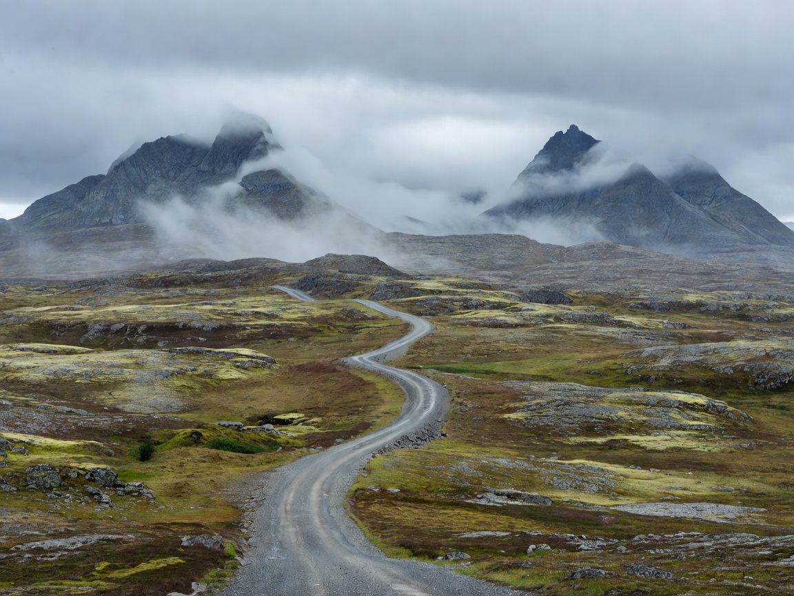
02 — ELEVATION & EXPOSURE
Measure the climb, not just the kilometres.
Scandinavian mountain riding can mean a gradual upland approach, a steep valley climb, a tunnel, or an exposed road across open terrain. These sections place different demands on rider attention. A short climb can take longer than expected when traffic, weather or frequent safe stops shape the pace. Compare route alternatives by elevation profile and road type before committing to a daily distance.
Do not treat an elevation graphic as a prediction of road quality. Use it to spot sustained climbs, descents and high points, then check current road information and maps for the actual route. Tunnels, switchbacks, narrow sections and roadside stopping options may not be clear from a single overview map.
Gradients and descending
Long climbs and descents can increase workload, especially with luggage or a passenger. Choose a steady pace that leaves space for traffic and lets you respond to changing surface conditions. Avoid rushing to make up time lost on a climb. On descents, focus on a controlled line, clear sight distance and the traffic around you. Follow posted limits and local road rules; public mountain roads are not riding courses.
Plan a pause before fatigue affects concentration. Use designated stopping areas rather than pulling onto a narrow shoulder or stopping where another driver cannot see you. Take account of the return climb when selecting a viewpoint or side road. A route that looks simple on an outward leg may feel different later in the day.
Tunnels, bridges and changing light
Tunnels can bring abrupt changes in light, temperature and road feel. Read signs early, maintain a safe following distance and use lighting as required by local rules. Do not stop inside a tunnel. Check route notes for long tunnel sections and consider whether the road is suitable for your comfort and equipment. Bridges and open ridges may be more exposed to wind than the approaches that lead to them.
Visibility can change with cloud, precipitation, spray and low sun. Use appropriate eye protection and keep the visor clean. If conditions reduce the view of the road ahead, slow down safely or wait in a suitable place. Navigation prompts should never distract from traffic or road signs.
Road surface and weather
Surface conditions vary across regions and can change after winter maintenance, rainfall or local work. Watch for loose material, repaired patches, wet shade, gravel at junctions and uneven edges. Do not assume every paved road has the same surface or width. Check official local road sources for current closures, restrictions and seasonal notices before riding.
Mountain weather can differ from the forecast in a nearby town. Wind, cold rain, fog and lower visibility may arrive quickly at elevation. Forecasts are useful for planning but do not guarantee conditions at a pass. Carry protective layers and gloves suited to the expected range. If weather removes a safe margin, choose a lower route or postpone the exposed section.
Seasonal access and route choice
Some high roads have seasonal access limits or may close because of weather, maintenance or local decisions. Opening dates vary and should not be assumed from past years. Confirm access close to departure through relevant road authorities or local sources. When a pass is unavailable, use a mapped alternative that is legal for motorcycles and check whether it adds fuel, daylight or overnight demands.
Choose a mountain route based on the rider’s experience, motorcycle load, available daylight and comfort with tunnels or exposed roads. A lower valley road may be a better choice than a high crossing when weather is unstable. The scenic option is not automatically the safest option for a particular day.
Advantages and limitations
Highland routes offer elevation changes, broad views and a strong sense of regional terrain. They also make timing less predictable. Steep gradients, limited passing space, weather exposure and seasonal access can reduce flexibility. They suit a plan with spare time, layered clothing and an alternate route. They suit less well when a fixed arrival time or poor visibility leaves no room to adapt.
Good for
- Riders comfortable with changing gradients and highland weather.
- Trips that include lower-road alternatives and generous time margins.
- Riders who check access and surface information before each stage.
What to know
- Check local road access and conditions close to departure.
- Allow for slower progress, tunnel sections and exposure to wind.
- Do not continue onto a road when visibility or grip removes a safe margin.